
02/22/24.
We awoke at 6 determined to get packing and breakfast finished promptly and get hiking early. We also needed to check out of our current hotel and go somewhere else in order to capture the Friends and Family rate, which has been a great benefit to us.
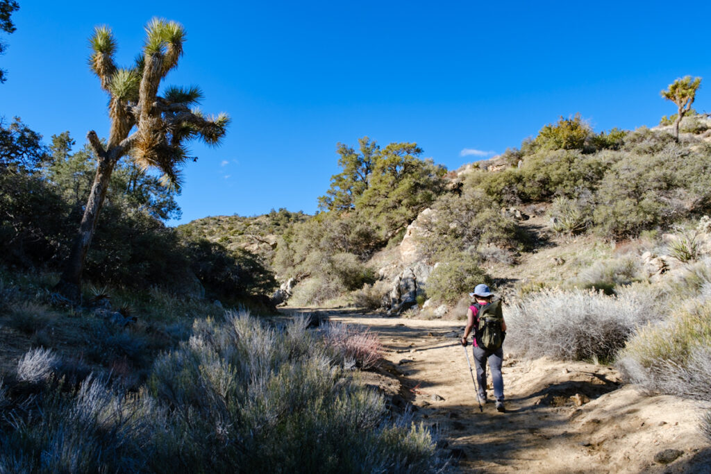
We popped everything into the rental care ( now gas-powered) and jumped onto I-10 going west towards LA, and then north on CA-62 towards Joshua Tree. Everything went smoothly and we had no concerns about running out of gas or electric power. We arrived in Yucca valley and turned towards the Black Rock Campground. We wound through middle class low rise neighborhoods, and upon leaving town, arrived at the campground. It was cool as we pulled up, with temps at 46 degrees. Soon our bags, water and layered gear were on and ready to take off. GPS guidance was on if needed for this 7 mile hike up to the Panorama trail.

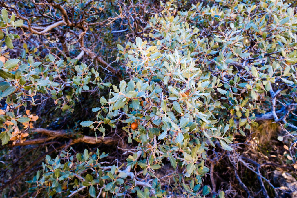
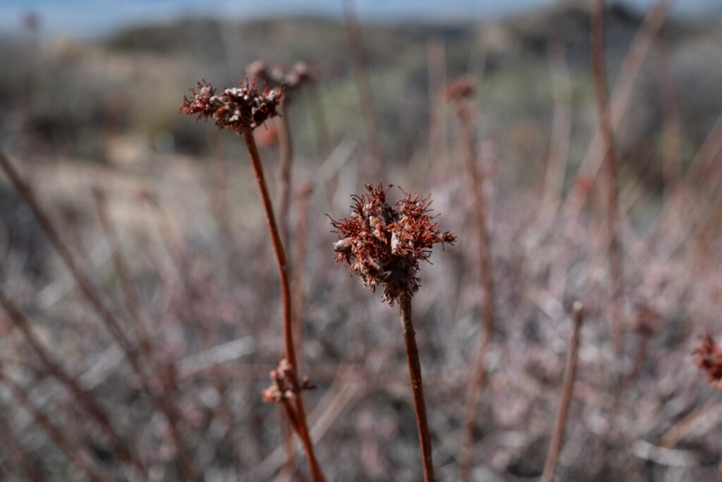
New types of grasses, bushes and birds popped up on all sides as we continued foward. I got out my Merlin app and identified a Cactus wren, a California thrasher, a California scrub jay and a white throated sparrow. Sparrows bounce around in the low level grasses and bushes with the same mannerisms they have in Michigan. Now we also had pinyon pine and a type of scrub oak that l first thought was holly but the acorns gave it away
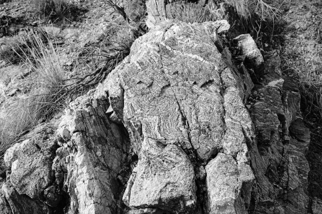
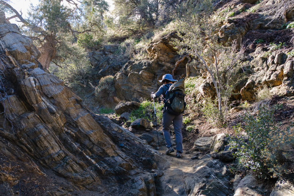
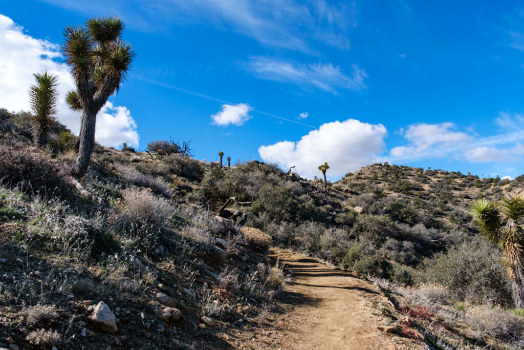
As we reached the 3 mile mark, the trail reached the beginning of the panorama look, and this meant we would be climbing much more steeply. We turned of to the left and soon we were on a narrow path surrounded by rocky cliffs, cactus, Joshua trees and pines.
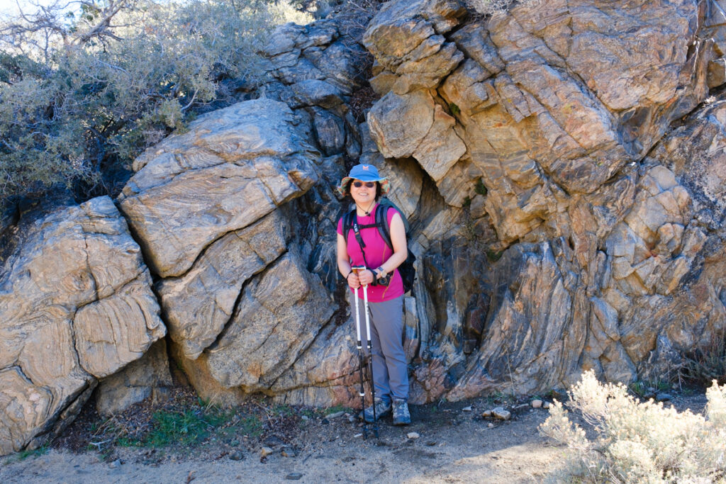
After a while the path turned more aggressively upwards with switchbacks, and the panorama began to appear. The temperatures started to fall and the wind picked up. We kept a windbreaker on over a thin base layer.

Soon we could start to see the two large mountains in the vecinity, San Jacinto and San Gorgonio ( 11,500 feet)
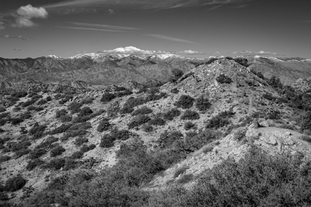
After the stunning views and a little break for food and water we headed down the return side of the loop, this side less aggressive in its descent
As we arrived back at the campground after 7 miles, we were very happy with this hike. Getting an early start gives us a remote sense in the cool of the morning, and we are done by noon when many other campers get out on the trail in the full sun. Then on to our favorite restaurant in the area that features many natural and well prepared items. With our senses satisfied, we headed on to our new hotel, La Quinta resort, an uber-rich place, made very reasonable to employees of the Hilton chain like Alice. Listed at $540 for tonight, our charge for the night is $80.
Sounds like a wonderful trip! Our son lives in Santa Clarita,, part of LA. We go there often and discovered the Owens Valley, the eastern slope of the Sierras, HY 395. We have visited the WWII Japanese Internment camp at Manzar several time…informative museum and reconstructed barracks. Ii is close to Lone Pine, a favorite city with a Western Movie Museum and (many filmed there from the silent era a beyond. Dow Hotel and Motel where the stars stayed…motel is best), the Alabama Hills (fantastic boulders over large area, when the movies were filmed ), the Whitney Portal (road up to Mt Whitney…maybe closed by snow). The small town of Independence has a small Western Sierra museum. Bishop has a famous bakery. Mono Lake with the calcium structures. We love that area, especially Death Valley! Enjoying following your adventures.
It sounds like we will need to take another trip to this region, as I would really like to visit the Japanese interment camps. I have photography books about it and have read novels about the time period. We have only scratched the surface.
Sent to my daughter and her partner in LA…avid hikers.
One positive thought is that the difference between $540 and $80 for a lovely place to stay pays for the coffee and sandwiches many times over.
Absolutely, and we never aim to spend that kind of money.
Really love the way you intersperse color photos with black and white. That vehicle adds a lot of interest!
Sometimes it seems hurried and chaotic, but it does force some taking stock of what has happened on day. Thanks!